Slovenia
More than 10,000 kilometers of Slovenian national roads recorded and assessed.
Road assessment solution fully aligned with iRAP and EuroRAP standards
The NetRAP software addresses the critical issue of road safety by providing comprehensive data collection and analysis of road and roadside conditions. Traditional methods of road assessment are often time-consuming, inconsistent and lack the detailed insights necessary to identify high-risk areas. Without reliable data, it’s difficult for governments and agencies to prioritize improvements or implement effective safety measures.
NetRAP includes all the essential parameters required by the EuroRAP/iRAP program and solves this problem by enabling precise, automated road inspections through video capture and analysis. It evaluates key road attributes, identifies safety risks and recommends targeted improvements, ensuring roads meet international safety standards and reducing the likelihood of accidents.

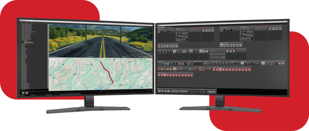
The road data video survey system features cameras remotely operated by a survey computer through a wireless router. Equipped with a GPS antenna and a desktop processing unit, the system produces high-quality and geo-referenced videos that meet iRAP and EuroRAP specifications.
These videos serve as a foundation for road assessments and Star Ratings, offering a straightforward and objective measure of the safety features inherent to the road for vehicle occupants, motorcyclists, cyclists, and pedestrians.
Using cameras, the system captures all road and roadside elements, including missing pedestrian crossings, traffic signs, sidewalks, inappropriate speed limits, bank conditions, road widths etc.


More than 10,000 kilometers of Slovenian national roads recorded and assessed.
More than 70,000 kilometers of roads recorded and assessed.